
On-site service
On-site drone surveying
We fly your site ourselves and deliver the dimensioned 3D model, orthophoto and measurement – one partner for flight and processing. Choose your location.
On-site flight from €390 net · estimate per location in the configurator · billed by quote
Base Nierstein
Where we fly ourselves.
Straight-line distance from Nierstein, sorted by distance. Every location has its own estimate calculator and request form.
- NiersteinRheinhessenBase
- Groß-GerauKreis Groß-Gerau12 km
- MainzRheinhessen15 km
- Rüsselsheim am MainKreis Groß-Gerau15 km
- RaunheimKreis Groß-Gerau18 km
- AlzeyRheinhessen21 km
- DarmstadtSüdhessen23 km
- Ingelheim am RheinLandkreis Mainz-Bingen23 km
- WiesbadenHessen24 km
- Hofheim am TaunusMain-Taunus-Kreis25 km
- WormsRheinhessen und Rhein-Neckar26 km
- Neu-IsenburgLandkreis Offenbach32 km
- Bingen am RheinLandkreis Mainz-Bingen33 km
- Bad KreuznachNahe-Region34 km
- EschbornMain-Taunus-Kreis35 km
- Frankfurt am MainFrankfurt Rhein-Main36 km
- Offenbach am MainFrankfurt Rhein-Main40 km
- Bad Homburg vor der HöheHochtaunuskreis45 km
- HanauMain-Kinzig-Kreis51 km
- ZürichKanton Zürich≈ 278 km
Deliverables
What reaches you after the flight.
01
Measurable 3D model
Georeferenced, checked by a person and ready as a browser link or OBJ/GLB.
3D model · real project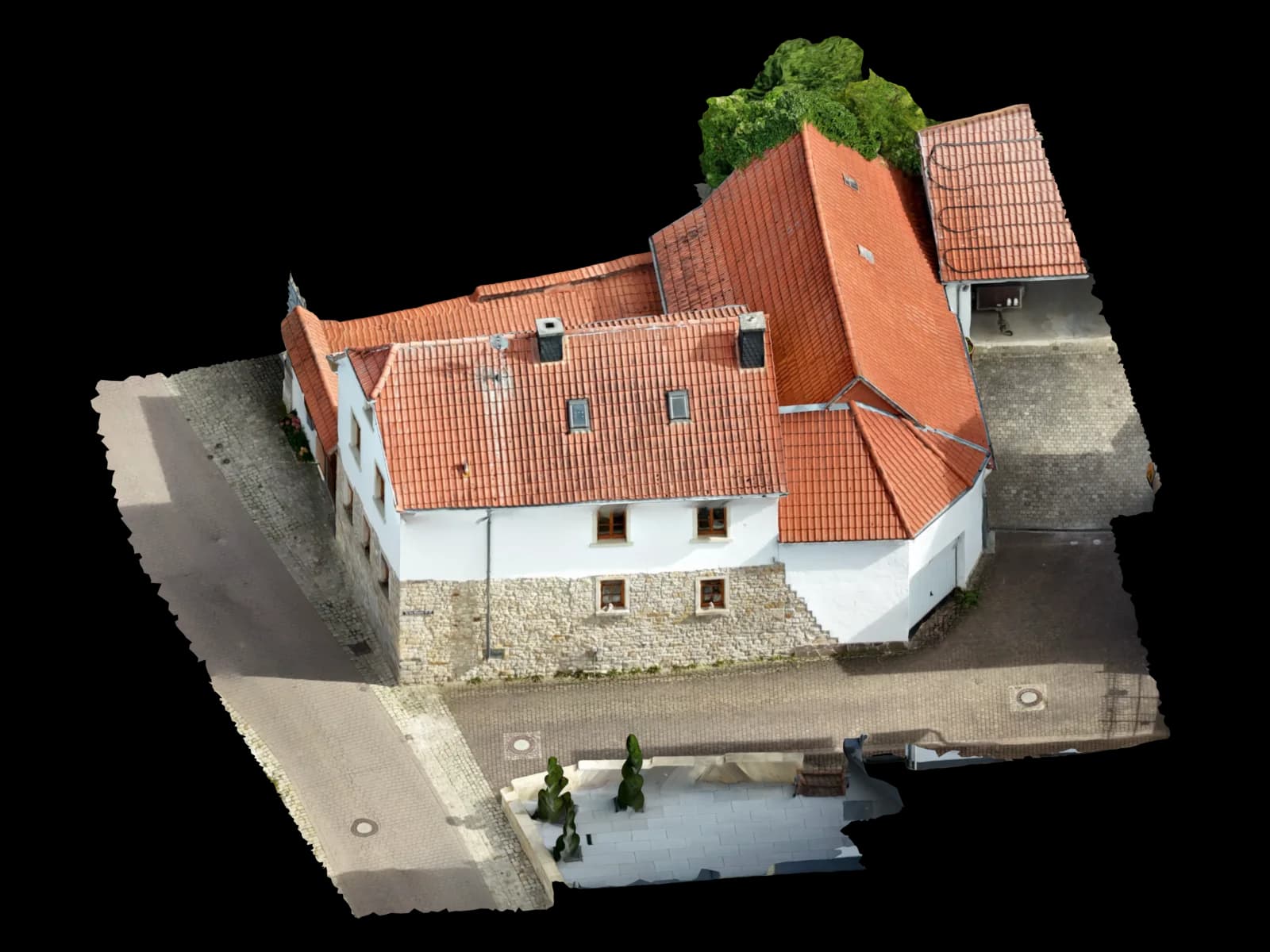
02
Georeferenced orthophoto
A true-to-scale aerial image as GeoTIFF for QGIS, site plans and area assessment.
Top view · real model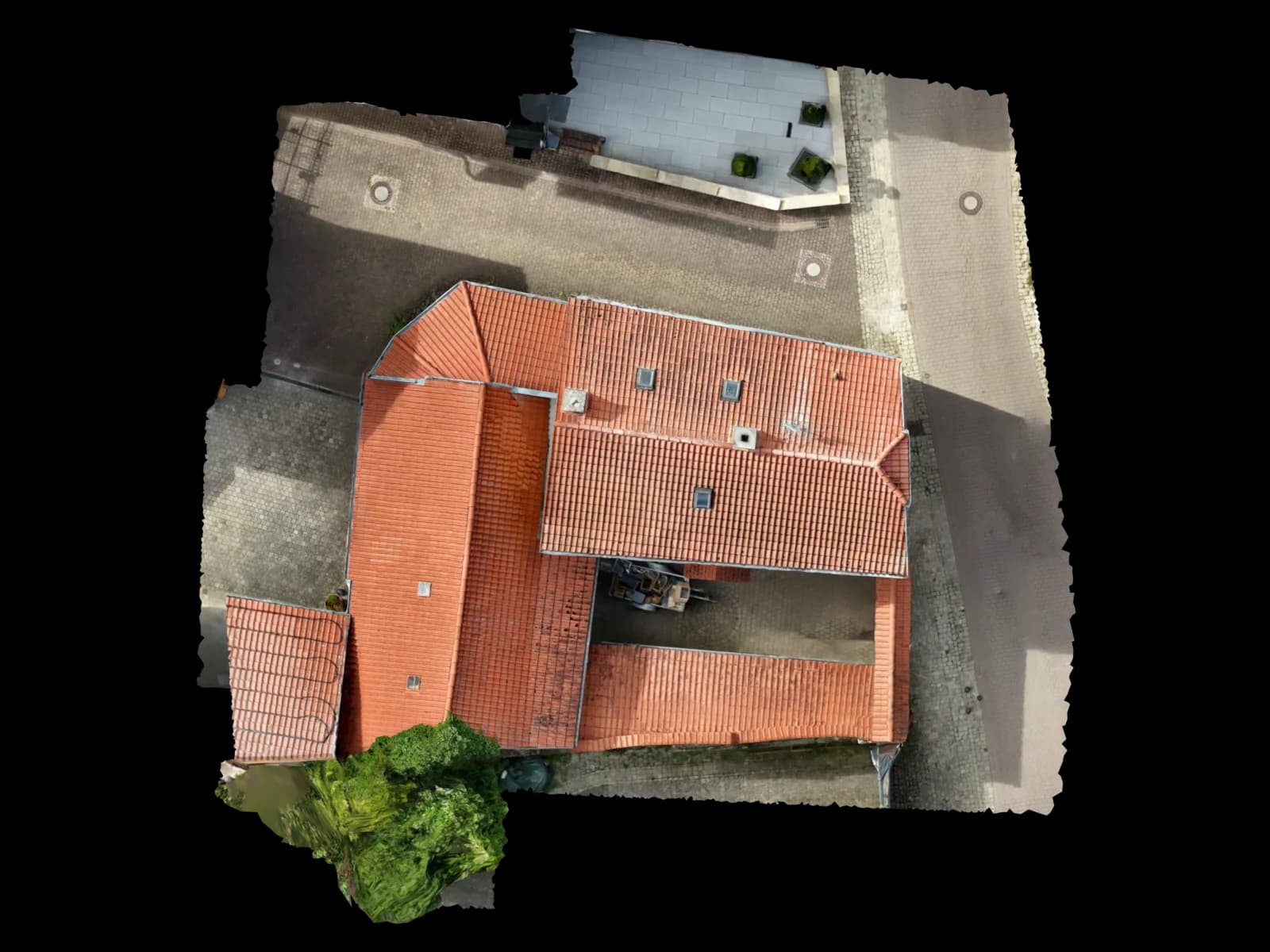
03
Measurements and areas in m²
Roof, facade and plot areas, measurable directly in the 3D viewer.
Screenshot · 3D viewer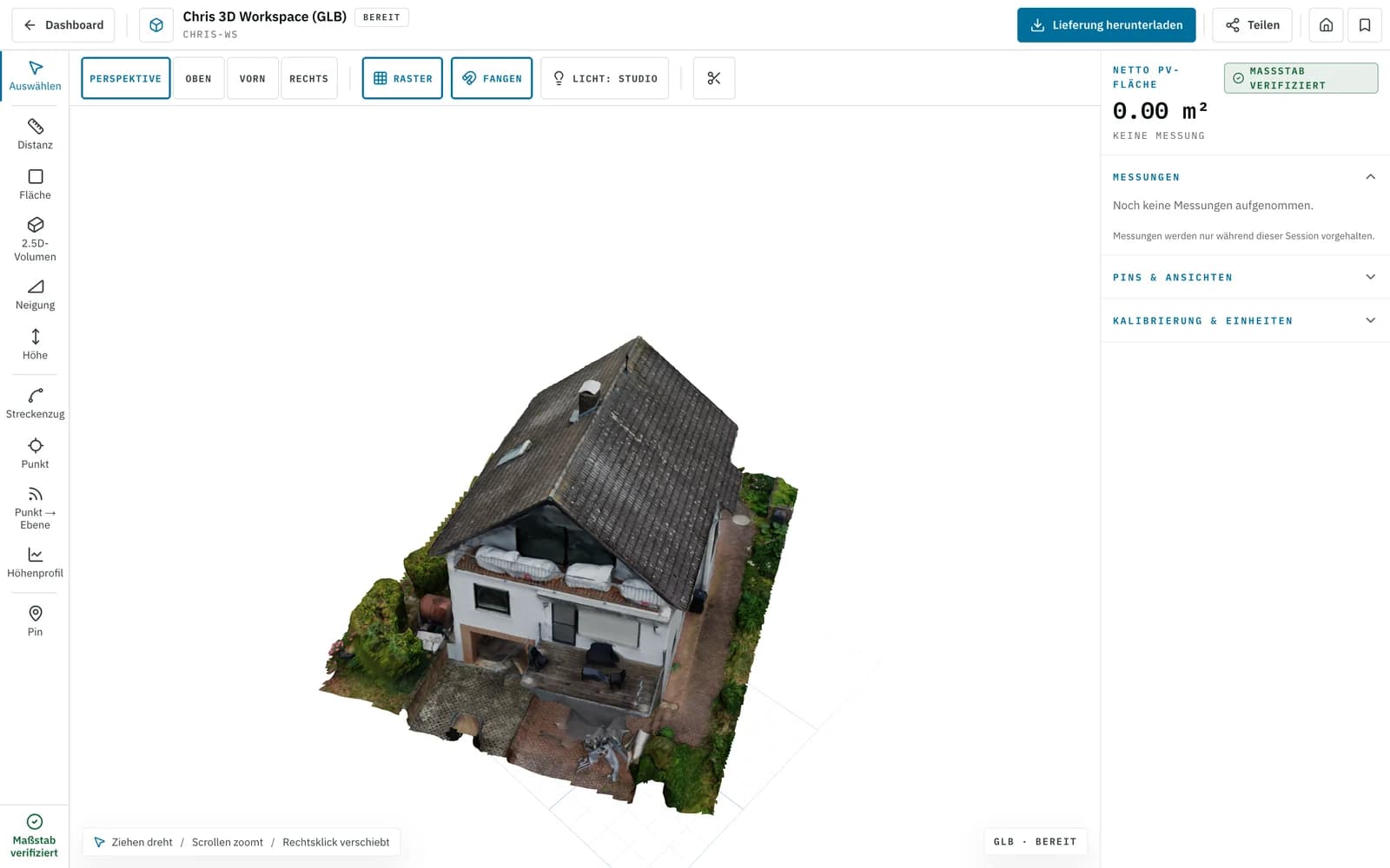
04
Point cloud (LAS/LAZ/E57)
For as-built surveys, volumes and import into CAD and GIS software.
File format · deliveryLAS · LAZ · E5705
CAD and BIM export
DXF/DWG for AutoCAD, IFC for Revit and ArchiCAD – you keep working in your own software.
Edge drawing · real model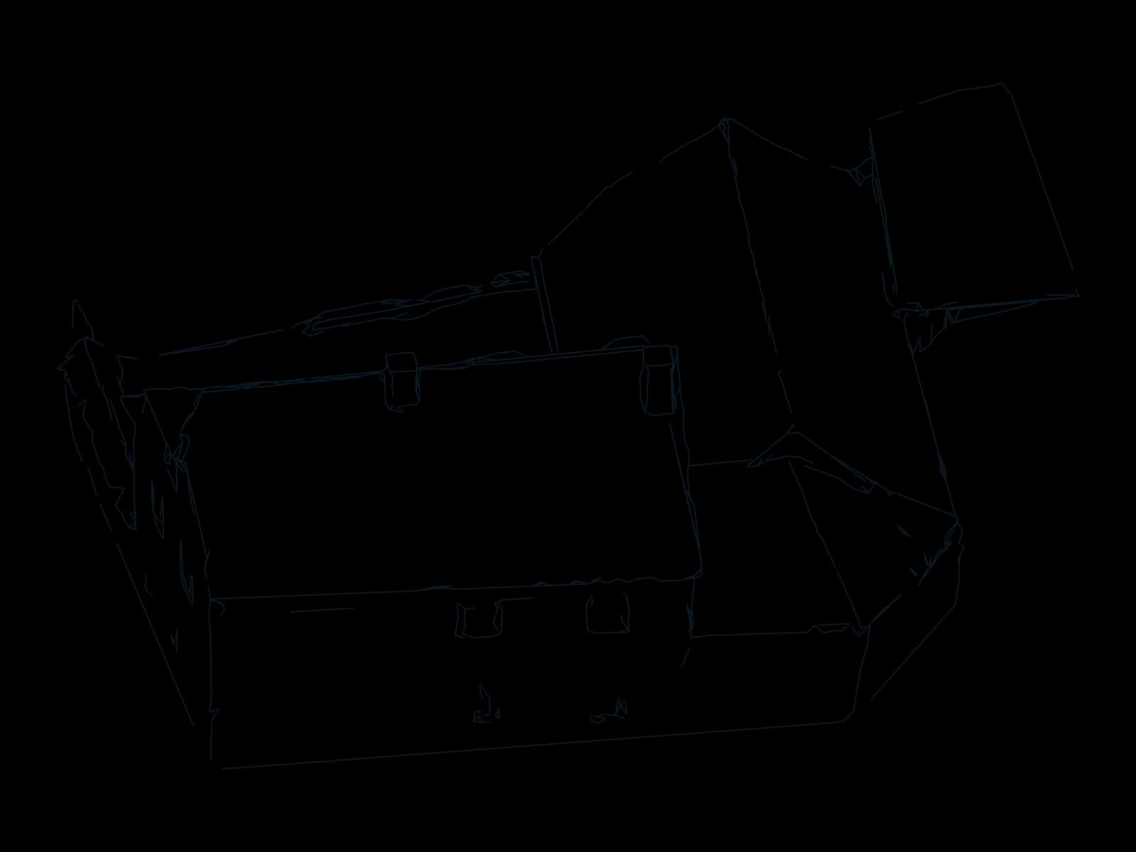
06
PV shading analysis
Roof geometry plus shading, ready for the PV*SOL workflow.
Roof planes · real model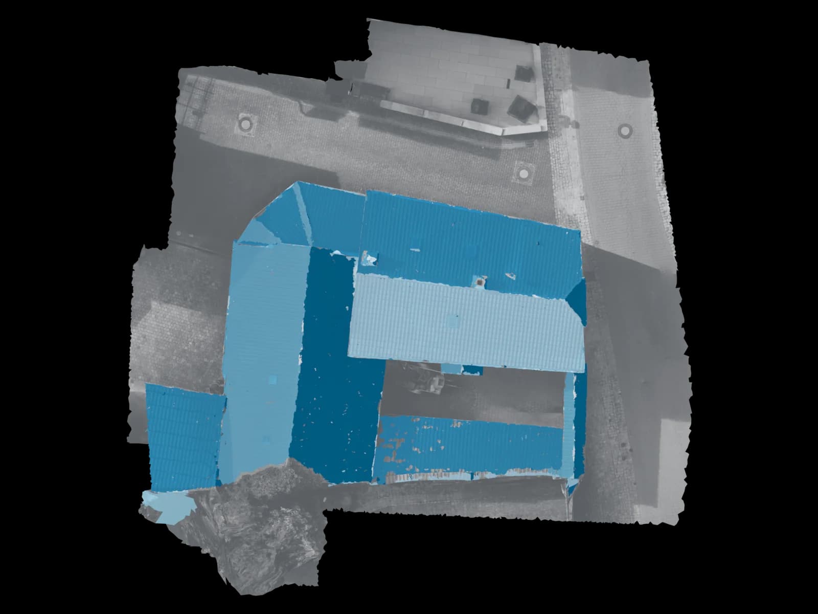
Ratgeber
More on drone surveying
Upload & 3D processing
Outside this region?
No problem: upload your drone images and we build the same verified 3D, CAD and PV data basis from them – nationwide and in Switzerland, the first project free.
First project without a credit card · then from €45 per project · no subscription needed
Upload & 3D processing