
Industry & Assets
Drone images in – USDZ, OBJ or DAE out.
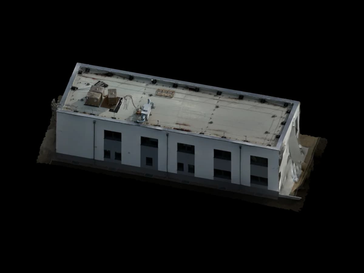
Industrial assets, machinery and outdoor installations are turned from drone images into USDZ, OBJ, DAE or custom formats – PBR-optimised for Blender, Unity and Unreal.
Project delivery
Your drone photos. Usable project data.
You provide the imagery. We review the dataset, prepare the right measurement and model data, and deliver it so your team can keep working immediately.
- Your input
- Drone images (JPG/RAW/TIFF)
- Industrial assets, machinery, outdoor installations
- Facades, tanks, silos, pipe systems
- Any drone with overlap-grid capture
- Your output
- USDZ – AR-ready for Apple devices
- OBJ + MTL – universal 3D format
- DAE (Collada) – open scene format
- GLB / GLTF – web 3D and real-time engine
- PBR textures optimised for target software
- Target software
- Blender
- Unity
- Unreal Engine
- Cinema 4D
- Autodesk Plant 3D
- Aveva E3D
Project use
When industrial and custom formats matter
You receive 3D assets from drone imagery for digital twins, visualization, AR/VR, asset documentation, or technical communication. The export is aligned with its later use instead of being delivered as a generic model.
The target environment matters as much as the reconstruction: Blender, Unity, Unreal, web viewers, or internal asset pipelines. Textures, file format, and level of detail are prepared for the planned use.
Typical project cases
3D assets for visualisation, presentation, and technical communication
AR-ready models for Apple devices or web viewers
Object and facility models for Unity, Unreal, or Blender workflows
Custom output formats for requirements outside PV and CAD
- Secure online payment
- No subscription for single projects
Ready to order
Start Viewer + measurement directly.
Review the price, pay securely, then receive the upload link. For edge cases, we review the dataset before weak image sets are processed.
€45
up to 1,000 m². Pre-calculated: €45
Measurable browser link
Dataset review before production
Upload after Stripe payment
Process
How you receive your project data
Upload images
Capture asset or object with overlap grid and upload.
3D reconstruction
Photogrammetry and Blender pipeline produce a polygon model.
Format & PBR optimisation
Export into target format + PBR texture optimisation for your software.
Delivery in 12–48h
Format files downloadable directly in your dashboard.
Read on
Related pages
Get started
The first project is on us.
Upload your drone photos. Standard projects are ready in 24–48 hours – for PV*SOL, AutoCAD, GIS or the browser.
First project without a credit card · then from €45 per project · no subscription needed