
Roofers
Roof takeoff in 24 hours – without climbing.
We deliver precise roof measurements with area calculations, pitch angles, 3D models, and detail photos – safe, fast, and ready for your estimates.
Project delivery
Your drone photos. Usable project data.
You provide the imagery. We review the dataset, prepare the right measurement and model data, and deliver it so your team can keep working immediately.
- Your input
- Drone images of the roof (JPG/RAW/TIFF)
- Optional: damage photos or close-ups
- Optional: RTK data for maximum accuracy
- Your output
- Precise roof takeoff with area (m²)
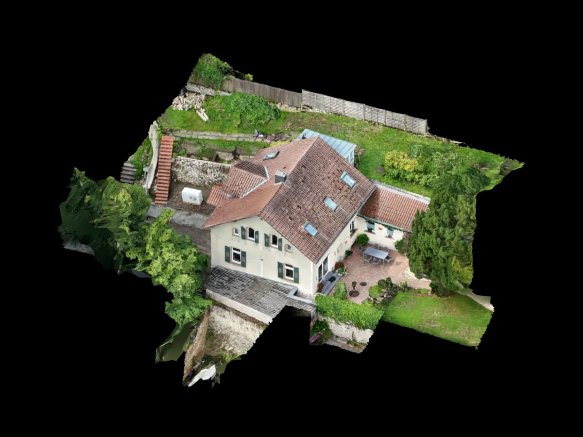
- 3D roof model for visualisation
- Pitch angles and roof type classification
- Detail photos with scale
- High-resolution roof orthophoto
- Compatible estimating software
- SEMA
- Hottgenroth / HottCAD
- RoofSnap
- EagleView
- AppliCad
- MagicPlan
- Excel
Project use
Safe roof takeoffs without unnecessary roof access
You receive a precise roof takeoff from drone imagery without climbing the roof for the first estimate. Areas, pitch angles, and details are prepared digitally so proposals become faster and more reliable.
Instead of rough assumptions, you get working data for estimating: area values, roof planes, pitch angles, scaled detail images, and a 3D model for review. Results can be used directly in Excel or estimating software.
How roofers use the data
Fast roof takeoffs for repair and renovation projects
Safe measurements of hard-to-reach or dangerous roofs
Accurate material quantity planning without climbing
Customer visualisation and estimate prep with 3D models
- Secure online payment
- No subscription for single projects
Ready to order
Start Viewer + measurement directly.
Review the price, pay securely, then receive the upload link. For edge cases, we review the dataset before weak image sets are processed.
€45
up to 1,000 m². Pre-calculated: €45
Measurable browser link
Dataset review before production
Upload after Stripe payment
Process
How you receive your project data
Order drone flight
Roof area is fully documented.
Image processing
High-precision 3D reconstruction.
Takeoff & model
Automatic area calculation and classification.
Delivery 12–24h
Takeoff report + 3D file in dashboard.
Read on
Related resources
Get started
The first project is on us.
Upload your drone photos. Standard projects are ready in 24–48 hours – for PV*SOL, AutoCAD, GIS or the browser.
First project without a credit card · then from €45 per project · no subscription needed