
Damage Documentation
Make damage visible and measurable.
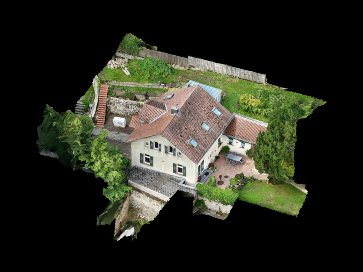
Drone images of roofs, facades, or damaged areas become a 3D model for documentation, measurement, and coordination.
Project delivery
Your drone photos. Usable project data.
You provide the imagery. We review the dataset, prepare the right measurement and model data, and deliver it so your team can keep working immediately.
- Your input
- Drone images of the damaged area
- Overview images of roof or facade
- Optional: close-up detail images
- Optional: incident date, assessor notes, or historic photos
- Your output
- 3D documentation of the affected area
- Viewer link with measurement tools
- Area and position reference
- Optional: orthophoto or PDF extract
- Optional: CAD or point cloud for follow-up planning
- Typical software
- BricsCAD
- AutoCAD
- Bluebeam Revu
- PDF-Bericht
- Orthofoto
- Viewer
Project use
Typical projects
Storm or hail damage on roofs
Facade damage in hard-to-access areas
External documentation after fire damage
Repair estimate and insurance coordination prep
- Secure online payment
- No subscription for single projects
Ready to order
Start Viewer + measurement directly.
Review the price, pay securely, then receive the upload link. For edge cases, we review the dataset before weak image sets are processed.
€45
up to 1,000 m². Pre-calculated: €45
Measurable browser link
Dataset review before production
Upload after Stripe payment
Process
How you receive your project data
Upload drone data
You send the drone imagery and any reference information.
Dataset review
We check coverage, image quality, scale, and the right output path.
Model and QA
The 3D model is reconstructed, cleaned, and checked against the project goal.
Delivery
Viewer, CAD, orthophoto, or point-cloud data are delivered for the downstream workflow.
Read on
Related pages
Get started
The first project is on us.
Upload your drone photos. Standard projects are ready in 24–48 hours – for PV*SOL, AutoCAD, GIS or the browser.
First project without a credit card · then from €45 per project · no subscription needed