
Clear services instead of directionless routing.
Photogrammetry services for PV planning, CAD, and orthophotos.
Choose the right service for your project and see at a glance what will be delivered, how long it typically takes, and when a conversation makes sense.
First project €0 · then from €45 depending on format · standard projects in 24–48 h
- Team contact
- Directly with production, not a sales layer.
- Reviewed
- A person checks every model before delivery, including format checks.
- Your format
- PV*SOL, CAD, DXF, KML, or GeoJSON.
- Timing
- PV often 12-24h, CAD typically 5-8 days.
Entry points
Industries & applications
Every entry page at a glance — grouped by industry, without hidden submenus.
Solar & PV
Architecture & as-built
Construction, crane & scaffold
Property & retrofit
Services
Which service path fits your project?
Compare the use case, deliverables, and typical timing before choosing the right next step.
01 · Timeframe Typical 12-24h · Direct start
Solar & PV
- Best for
- PV planners, solar installers, and teams that need roof data ready for layout work fast.
- Output
- PV*SOL-ready 3D, Eturnity bundle, or PVcase DTM prepared for the downstream tool.
- Fits when
- You want to move straight into planning and yield checks without internal model cleanup.
More entry points
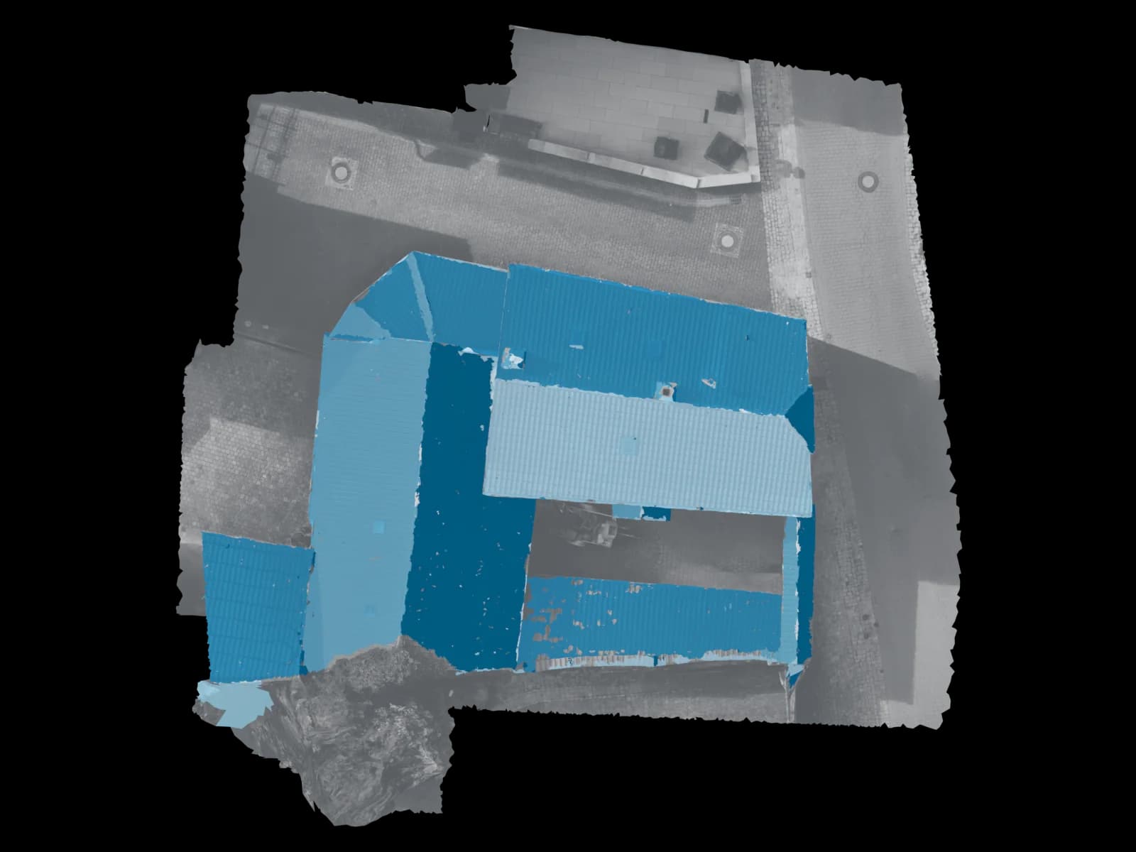
Roof planes · real model 02 · Timeframe Typical 5-8 days
Architecture & As-Built
- Best for
- Architecture practices, as-built teams, and renovation projects that need clean reusable survey data.
- Output
- AutoCAD 3D/2D, a DXF file, or Virto.CAD-ready for the next planning step.
- Fits when
- You need an as-built capture that can move into CAD without extra reconstruction loops.
More entry points
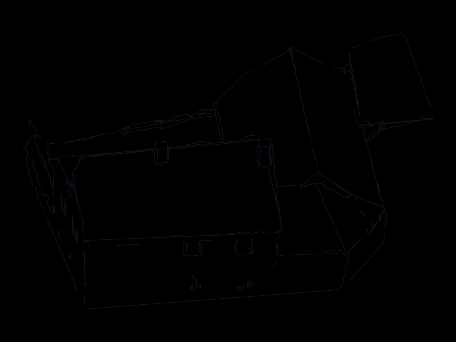
Edge drawing · real model 03 · Timeframe Typical 2-3 days
Survey & Orthodata
- Best for
- Survey, GIS, and documentation-heavy projects that require georeferenced delivery data.
- Output
- Orthomosaic, KML or GeoJSON, plus a metadata report that explains the delivery.
- Fits when
- Location accuracy, a clean delivery, and traceable data checks matter more than visual-only output.
More entry points
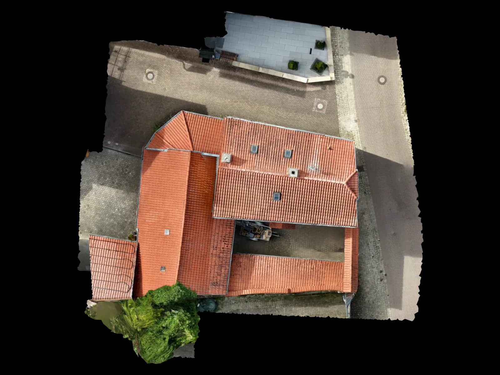
Top view · real model
Orientation
Proof, orientation, and buying help
If you want to review outcomes, estimate effort, or compare external delivery with in-house work before reaching out, start here.
- 3D roof model from drone imageryThe direct entry point for commercial roof-model requests with PV, viewer, or CAD intent.
- 3D models from drone imageryThe direct entry point when existing drone imagery needs to become a usable 3D outcome.
- Review delivered examplesSee real projects with the outcome, use case, and delivery context clearly explained.
- Understand cost, formats, and processBuyer-facing guidance on accuracy, formats, processing, and the decisions that usually matter first.
- Outsource or handle it in-house?Helps you compare external processing, internal handling, and hybrid approaches more realistically.
- Understand why VoxeliaA compact decision page for positioning, QA standards, and delivery logic.
- Check PV*SOL integrationIf your target workflow ends in PV*SOL, this is the right starting point.
- Check AutoCAD integrationFor DXF, DWG, and technical as-built deliveries.
- Scaffolding and facade measurementFacade areas, building heights, and openings as a digital estimating base.
- Drone-based damage documentationRoof and facade damage as a measurable 3D model for coordination and estimates.
- Construction progress as a 3D linkRecurring drone imagery as comparable 3D snapshots for site teams and documentation.
Next step
Still unsure which path fits?
If your project sits between PV, CAD, and orthodata, we can align scope, target format, and realistic timing with you directly.
First project without a credit card · then from €45 per project · no subscription needed
View outcome portfolio