
What scan-to-BIM with photogrammetry means
Scan-to-BIM is the path from captured reality to an as-built model. The input does not have to be a terrestrial laser scan. Peer-reviewed literature explicitly describes photogrammetry as another source of point clouds for scan-to-BIM workflows.
For Voxelia, the core service is not the flight itself but the conversion of image data into planning-ready outputs.
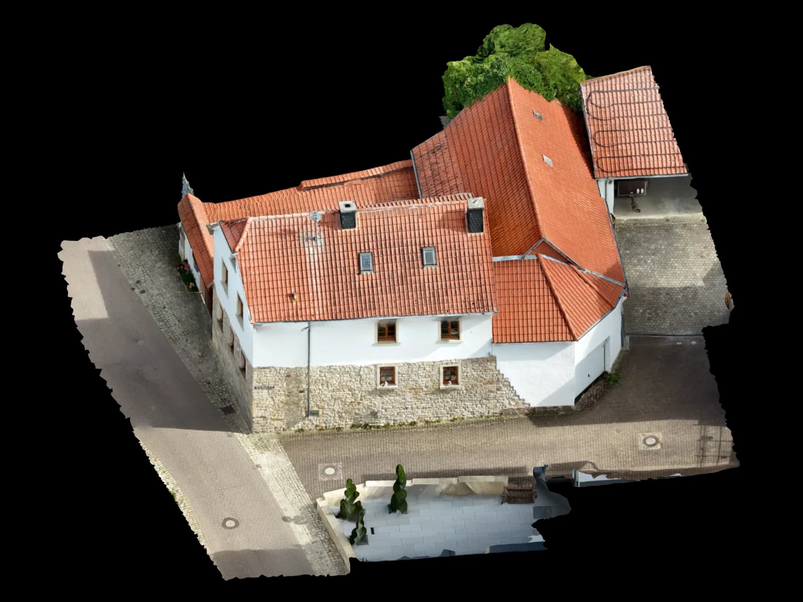
When image data is enough and when laser scanning is still stronger
Photogrammetry performs well when exterior geometry is visible, textured, and captured with stable overlap.
Laser scanning remains stronger in dense interiors, hidden geometry, reflective or transparent surfaces, and scenarios with very strict completeness requirements.
| Scenario | Photogrammetry | Laser scan | Recommendation |
|---|---|---|---|
| Roofs, facades, parapets, exterior envelope | Very suitable | Usually not required | Use photogrammetry as the primary basis and hand off as point cloud, orthophoto, or modeled envelope |
A clean workflow from images into BIM
Successful BIM deliverables depend more on the intermediate processing and coordinate strategy than on the mesh itself.
Pre-qualify the dataset and target LOD
Define what needs to be modeled and what the final deliverable must support.
Which outputs are realistic
Autodesk documents the practical route clearly: Revit links indexed point clouds through RCP/RCS, while ReCap can export OBJ, RCS, and orthophotos as GeoTIFF from photogrammetry projects.
| Format | Best for | Practical note |
|---|---|---|
| RCP / RCS | Revit reference cloud | Typical Autodesk route for point-cloud links |
Practical limits versus laser scanning
Photogrammetry is accessible and efficient, but more dependent on texture, lighting, and visibility than laser scanning.
Formats, coordinates, and standards that matter
IFC is the open exchange standard for BIM, and buildingSMART announced on April 2, 2024 that IFC 4.3 had been formally published as an ISO standard.
Frequently Asked Questions about Scan-to-BIM with Photogrammetry
Can images become an IFC model directly?
Primary sources & further reading