
What model acceptance means for 3D as-built data
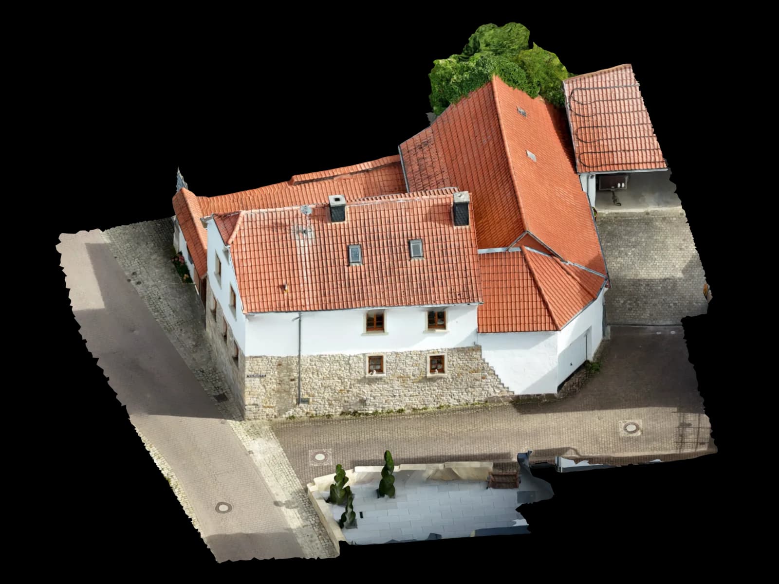
Model acceptance is not about approving a nice rendering. For image-based as-built data, the question is whether the delivered dataset is usable for the intended purpose: roof takeoff, PV planning, CAD base, BIM coordination, refurbishment, condition documentation or viewer delivery.
The input may be supplied drone images, building photos, facade imagery or other image data. Voxelia processes these datasets into 3D models, orthophotos, point clouds, CAD derivations, BIM-oriented models or web-based viewer deliveries. Acceptance should therefore assess the processed technical output, not a flight service.
A good acceptance workflow separates visible geometry, measurable references, coordinates, information content and delivery format. This makes it clear whether a model can move into planning or whether areas need to be remodelled, commented or marked as uncertain.
Core review layers
A quick visual review is rarely enough. A roof model for PV requires different checks than a facade orthophoto for refurbishment or an IFC-oriented delivery for architecture. The matrix below covers review layers that matter in most image-data projects.
| Check requirement | Why it matters | Delivery impact |
|---|---|---|
| Geometry and scale | Edges, planes, roof areas, openings and obstacles must fit the model purpose. | References, control points, model limits and non-reconstructable areas are documented. |
| Image and visibility basis | Photogrammetry can only reconstruct what is visible, sharp and captured from enough perspectives. | Gaps, reflections, hidden elements and weak image areas are not presented as confirmed geometry. |
| Coordinates and orientation | CAD, GIS, BIM and site coordination need a clear reference. | Local reference, project coordinates, GeoTIFF, IFC georeferencing or CAD origin are aligned with the workflow. |
| Format and layers | A strong model is less useful when CAD layers, formats or viewer structure do not fit the downstream tool. | DXF/DWG, IFC, GLB, OBJ, LAS/LAZ, GeoTIFF or viewer outputs are delivered with clear structure. |
| Review notes and responsibility | Planners need to know which elements are measured, modelled, interpreted or reference-only. | Status, assumptions, open issues and recommended checks are provided as notes, layers, BCF issues or viewer markers. |
Practical acceptance workflow
Reliable acceptance starts before the final file. If purpose, format and review points are defined only after delivery, rework is likely. A short delivery plan should define the intended use and guide the review.
Define purpose and downstream workflow
Clarify whether the output is for PV, roof takeoff, facade planning, CAD, BIM, viewer use or condition documentation.
Review imagery and references
Original images, metadata, known dimensions, drawings, coordinates or project axes are checked. Missing basis data is marked as risk.
Compare interim output against the model goal
Point cloud, mesh, orthophoto or first CAD derivation are checked against the intended use: are the relevant surfaces visible and modelable?
Accept final formats and structure
Files, layers, scale, origin, naming, viewer links, PDF notes and optional BIM information are reviewed with the client.
Document limits and open items
Hidden areas, simplified elements and recommended follow-up checks are recorded so specialist planners do not proceed with false certainty.
Format and delivery review
Acceptance should always consider the tool that will use the data next. CAD teams need layers, units and clear 2D/3D separation. BIM teams need IFC structure, element context and information status. PV teams need roof areas, obstacles, pitch, orientation and a manageable export. Refurbishment and heritage teams need textured surfaces, orthophotos, condition marks and traceable detail areas.
Open standards such as IFC are maintained by buildingSMART as a basis for openBIM data exchange. GeoTIFF is relevant for georeferenced raster data when orthophotos are used in CAD/GIS workflows. BCF can help manage model notes and coordination issues separately from the model itself. These standards do not replace project-specific review of the actual output.
Documenting limits
Image-based models are strong when visible surfaces, roof areas, facades, terrain or construction states were captured clearly. They are weaker when elements are hidden, reflective, too dark, repetitive or visible from too few perspectives. These limits belong in the acceptance package, not in a side conversation.
A clean delivery distinguishes measured geometry, modelled interpretation and reference-only content. This protects clients and planners because no one has to infer that every detail in a textured surface has the same survey value.
Client checklist
Before release, the dataset should speak the language of the downstream workflow: file format, units, layers, model limits, coordinates, viewer access, review notes and responsible contacts. BIM projects may also need information requirements, IFC structure, BCF issues or project-specific property sets.
For smaller projects, a lean acceptance check is often enough: purpose met, relevant elements visible, dimensions plausible, files open correctly, limits documented. Larger projects benefit from a formal review log with status by output.
Voxelia supports this transition: supplied image data becomes technical planning data that can be understood, checked and handed off cleanly.