
Why the dataset matters more than the camera
Voxelia focuses on processing supplied imagery into usable planning data. The key question is whether the images contain enough sharp, overlapping and traceable geometry for the intended output.
Official guidance from Pix4D, Agisoft Metashape and RealityCapture consistently points to overlap, sharp originals, stable exposure, camera metadata and reference information as core requirements.
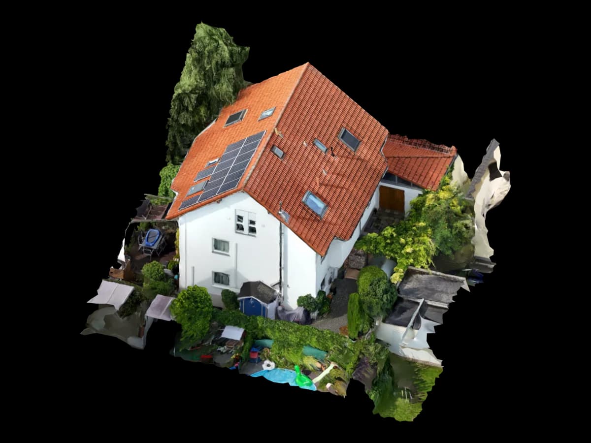
What belongs in the upload
A useful upload includes original photos, target deliverables, available reference dimensions and a short note about critical planning areas.
| Data type | Required | Best for | Practical note |
|---|---|---|---|
| Original imagery | Required | All outputs | Unedited JPG/DNG files preserve camera metadata better than exported screenshots. |
| Target output | Required | CAD, BIM, PV, orthophoto, viewer | A visual mesh, PV roof model and CAD takeoff have different tolerances. |
| References or GCPs | Strongly recommended | Scale, CAD, PV, survey context | Known lengths, plans or control points improve scale and plausibility. |
| Context files | Optional | Planning delivery | Existing drawings, sketches and desired export formats reduce ambiguity. |
Quality checks before processing
Pix4D uses 75 percent frontal and 60 percent side overlap as a baseline orientation for common mapping sets. Buildings, facades and complex roofs usually need more robust coverage.
Agisoft recommends sharp, correctly exposed images with low ISO and unchanged originals. Compression, blur and heavy edits reduce reliable image features.
Scale, GCPs and reference dimensions
CAD, BIM, PV and orthophoto deliveries need more than visual plausibility. Scale and, when required, georeferencing must be explicit.
Provide at least one reliable dimension
Use a known roof edge, facade width, measured object or existing plan.
Name the coordinate system
ETRS89/UTM, local coordinates or project coordinates must be clear.
Keep checkpoints separate
Use some measurements for independent plausibility checks, not only for scaling.
Common issues that weaken outputs
Most problems come from gaps in the image network rather than one bad photo. Critical geometry must be visible from multiple directions.
| Problem | Why it matters | Typical symptom | Countermeasure |
|---|---|---|---|
| Single images of key areas | Photogrammetry needs shared features | Gaps or distorted edges | Capture important surfaces from several angles |
| Messenger-compressed files | Metadata and detail are lost | Weak alignment and soft texture | Upload originals directly |
| No scale reference | The model may be visually plausible but metrically uncertain | CAD/PV dimensions need correction | Provide known dimensions, GCPs or plans |
| Reflective or homogeneous surfaces | Stable features are missing | Noise, holes or depth errors | Add angled images and nearby structured areas |
Voxelia workflow from upload to delivery
You provide imagery and target outputs; Voxelia reviews fit, processes the dataset and prepares planning deliverables.
Upload and target definition
Imagery, references, formats and critical areas are collected.
Dataset review
Sharpness, overlap, EXIF/XMP, coverage and risks are checked.
Reconstruction and QA
Point cloud, mesh, orthophoto or model basis are generated and checked against references.
Planning delivery
Viewer, CAD/DXF/DWG, GeoTIFF, point cloud, BIM context or PV roof geometry are delivered.
Realistic deliverables
Strong datasets can support roof geometry, facade context, point clouds, meshes, CAD/BIM deliverables, orthophotos, GeoTIFFs and viewer workflows. The right output depends on the supplied evidence.