
What Smart 3D Capture delivers and what it does not
Smart 3D Capture is an automatic mode of the DJI Matrice 4E. A first flight creates a sparse point cloud, the controller derives a precise route from it, and the drone then flies the object at a constant distance on its own.
The result of the flight is an image set. The sparse point cloud is for route planning; it does not replace a model you can measure, open in AutoCAD or hand to a planning office. For that, the images need photogrammetric processing.
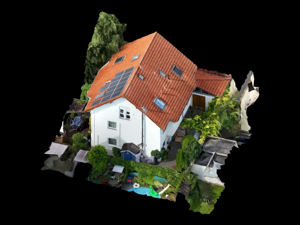
Three ways to process
The right choice depends mainly on how often you need models and who checks them afterwards.
| DJI Terra | Metashape, RealityCapture | Service provider | |
|---|---|---|---|
| Entry | License and computer needed | License, computer, training | None, upload the images |
| Processing | on your computer | on your computer | at the provider |
| Quality check | by you | by you | included in the price |
| Makes sense if | regular standard projects | many projects and in-house expertise | individual projects or no in-house processing |
What to watch during the flight
Automation takes a lot off your hands, but a model can only show what is in the images.
Re-fly undercuts
Roof overhangs, balconies and canopies are often poorly covered by the automatic route. Add these areas manually with images taken at an angle from below.
Bring reference measurements
Measure at least one distance on site with a tape or laser, such as an eave or a facade length. This lets you verify the scale.
Deliver the originals
Upload the images unchanged. Resized or edited photos lose metadata and detail.
Clarify the target format early
Ask before the flight what the office or trade needs: DWG, OBJ, point cloud or measurements in the browser. That decides which details matter.
How it works at Voxelia
A project takes four steps, and you do not buy any software.
Book the package
Choose the CAD package and pay by card, Apple Pay or Google Pay. There is no subscription.
Upload the images
Upload the photo folder or a ZIP in the browser. Paid orders have no limit on the number of files; a single file can be up to 10 GiB.
State the target format
Name your software and format, such as AutoCAD with DWG and OBJ. We check whether the image set is sufficient.
Receive the model
A human reviews the model. You get the files in the dashboard and can measure in the browser.
What it costs
The price depends on the area, not the number of photos. From around 1,000 images we review the image set first so that processing time and delivery date stay realistic.
| Area | CAD package |
|---|---|
| up to 1,000 m² | €135 |
| 1,500 m² | €247.50 |
| 3,000 m² | €270 |