
Upload & processing
3D from your drone images. Upload, get it reviewed, keep working.
Upload your drone images and we deliver the measurable 3D model, orthophoto and survey in your target software format – reviewed and usually within 24–48 h. Your first project is free.
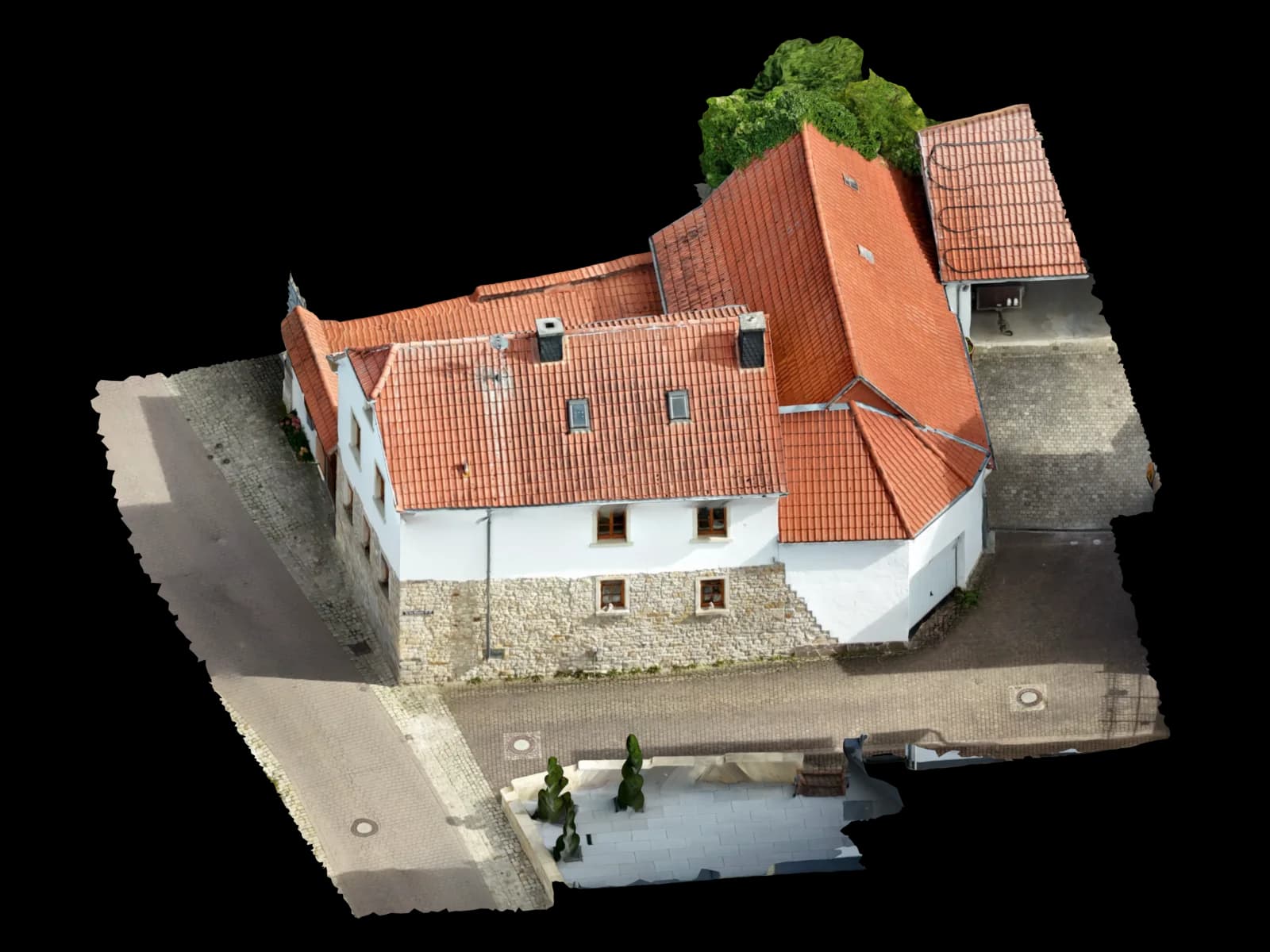
Project delivery
Your drone photos. Usable project data.
You provide the imagery. We review the dataset, prepare the right measurement and model data, and deliver it so your team can keep working immediately.
- Your input
- Drone images of your site (nadir and oblique)
- Site address and property boundaries
- Purpose (PV, construction, survey, documentation)
- Optional: Ground control points or RTK/PPK data
- Your output
- Dimensioned 3D model of the site
- Georeferenced orthophoto with scale
- Area measurement in m² incl. all structures
- Point cloud for CAD/BIM (optional)
- Export in your format (DXF, OBJ, IFC, etc.)
- Target software
- PV*SOL
- AutoCAD
- Revit
- ArchiCAD
Project use
Your uploaded images become a reviewed deliverable
The fastest route to a measurable model: you upload the drone images of your site, we review the dataset, run the photogrammetry and deliver the checked 3D model, orthophoto and measurement in your target software's format. No processing workflow of your own, no software licences – one defined deliverable, georeferenced and verified by a person.
How the online processing works: create an account, upload your image set, pick your target format – your first project is free. For recurring work, choose packages or credits. You keep full visibility in the viewer and download the model and exports directly.
Use cases
PV planning with real roof geometry and shading
As-built survey for construction, renovation and permits
Facade and roof measurement without aerial lifts
Construction progress and damage documentation
Volume and stockpile measurement on sites
Process
How you receive your project data
Upload images
You upload your drone images (nadir and oblique) via the platform.
Image processing
Photogrammetric reconstruction and georeferencing.
Survey
Dimensioned modelling incl. all structures, reviewed by a person.
Delivery
Model, orthophoto and export in your format – usually within 24–48 hours.
Read on
Related pages
- Need an on-site flight?No imagery of your own? On-site drone surveying based in Nierstein, Rheinhessen – fixed price by scope.
- Flat-roof surveyPrecise flat-roof survey including all structures – without roof access.
- Shading analysisShading simulation from real 3D roof models for PV planning.
- Export formatsDXF, OBJ, IFC, orthophoto and more output formats for any target software.
Get started
The first project is on us.
Upload your drone photos. Standard projects are ready in 24–48 hours – for PV*SOL, AutoCAD, GIS or the browser.
First project without a credit card · then from €45 per project · no subscription needed